Illinois (IL)

| da …- a … | Km tappa | Km progressivo su strada | Km progressivo Route 66 | Tempo di percorrenza (ore:minuti) | Note |
|---|---|---|---|---|---|
| Chicago → Chenoa | 177,03 (110 m) |
??? | 177,03 (110 m) |
2:35 |
Chicago (IL) → Romeoville → Joliet → Elwood → Wilmington → Gardner → Dwight → Odell → Pontiac → Chenoa |
| Chenoa → Lawndale | 84,33 (52,4 m) |
??? | 201,36 (162,4 m) |
1:19 (3:54) |
Chenoa → Lexington → Towanda → Normal → Bloomington → Shirley → Funks Grove → McLean → Atlanta → Lawndale |
| Lawndale → Thayer | 99,46 (61,8 m) |
??? | 300,82 (224,2 m) |
1:35 (5:29) |
Lawndale → Lincoln → Broadwell → Elkhart → Williamsville → Sherman → Springfield → Chatham → Auburn →Thayer |
| Thayer → Mitchell (Granite City) | 125,69 (78,1 m) |
??? | 426,51 (302,3 m) |
1:39 (7:08) |
Thayer → Virden → Girard → Nilwood → Carlinville → Gillespie → Bernld → Statuton → Hamel → Mitchell (Granite City) |
| Mitchell (Granite City) → St.Louis | 16,74 (10,4 m) |
??? | 443,25 (312,7 m) |
0:18 (7:26) |
Mitchell (Granite City) → St.Louis (MO) |
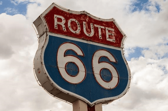
L’immagine in evidenza (nell’intestazione di questo articolo) è una foto di Foundry Co da Pixabay, secondo la Licenza Pixabay ed è libera per usi commerciali con attribuzione non richiesta.
Il tragitto e le tappe è basato principalmente sul [ez66-2015]: The EZ66 GuideTM for Travelers, 4th Edition, Jerry McClanahan, National Historic Route 66 Federation, 2015, ISBN 978-0-9889246-1-1.

